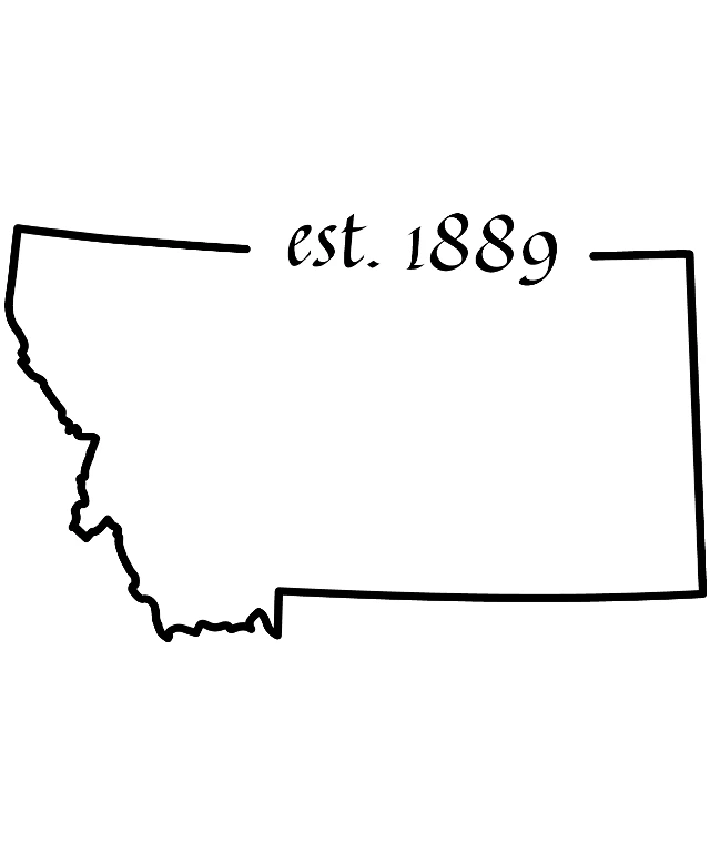
The image displays a simple graphic of a state outline, which is a stylized representation of a state's borders. The outline is black and appears to be a silhouette of a state. The state is labeled with the text "EST. 1889" in the upper right corner, suggesting it is a historical representation of a state established in 1889. The text is in a serif font, which gives it a classic and formal appearance. The background of the image is white, which contrasts with the black outline and text, making the state outline and the text easily visible. The overall style of the image is minimalistic and informative.
Like
Est. 1889: A Historical Map of the United States
$22.95 USD Sale price $20.00 USD
Design this TShirt
Design this Mug
Design this Sticker
Download for personal use
Product
Add to cartShare on Facebook
Share on X
Share on Pinterest
Other Designs

