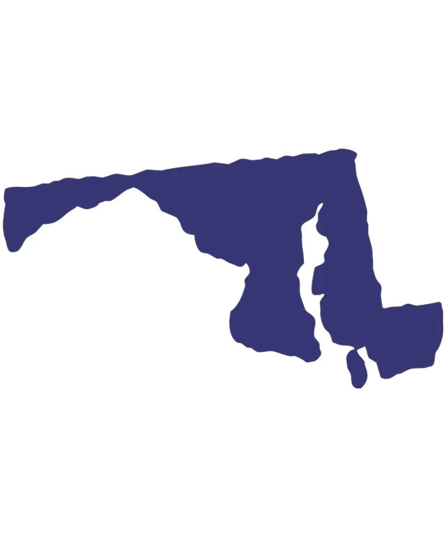
The image displays a stylized map of a region, which appears to be a simplified representation of a country or a region within a country. The map is predominantly in shades of blue, with the landmasses colored in a darker shade and the water bodies in a lighter shade. The map is outlined with a thicker line, indicating the borders of the region. The style of the map is minimalistic, with no additional geographical details or labels. The image is set against a plain white background, which contrasts with the blue of the map, making it stand out.
Like
A Stylized Map of a State or Region
$22.95 USD Sale price $20.00 USD
Design this TShirt
Design this Mug
Design this Sticker
Download for personal use
Product
Add to cartShare on Facebook
Share on X
Share on Pinterest
Other Designs