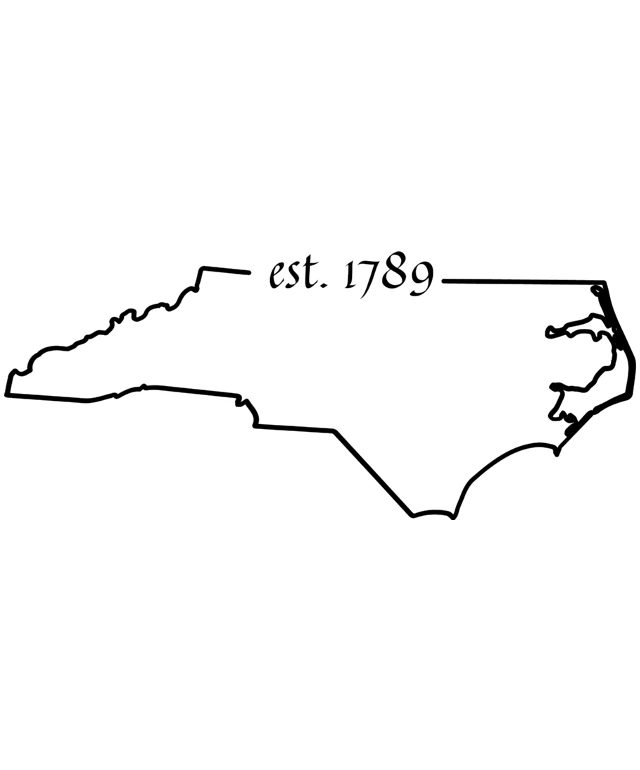
The image displays a simple black and white line drawing of a map. The map appears to represent a specific region, possibly a state or province, with a label indicating "est. 1789" at the top. The drawing is minimalistic, with no additional details or features, and the style is reminiscent of a basic outline map. The background of the image is plain and white, which contrasts with the black lines of the map, making the map the central focus of the image.
Like
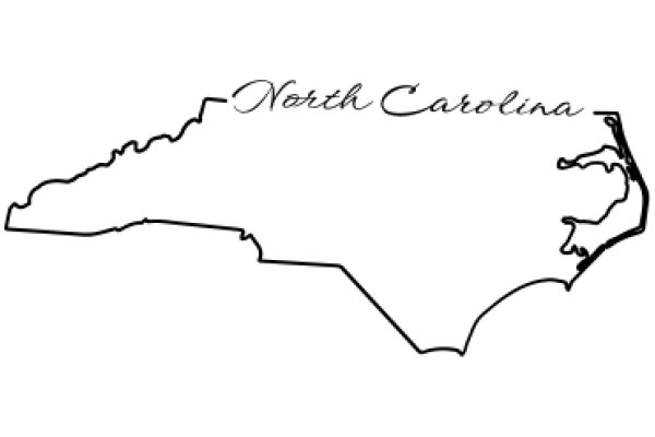
Est. 1789: A Historical Map of the United States
$22.95 USD Sale price $20.00 USD
Design this TShirt
Design this Mug
Design this Sticker
Download for personal use
Product
Add to cartShare on Facebook
Share on X
Share on Pinterest
Other Designs