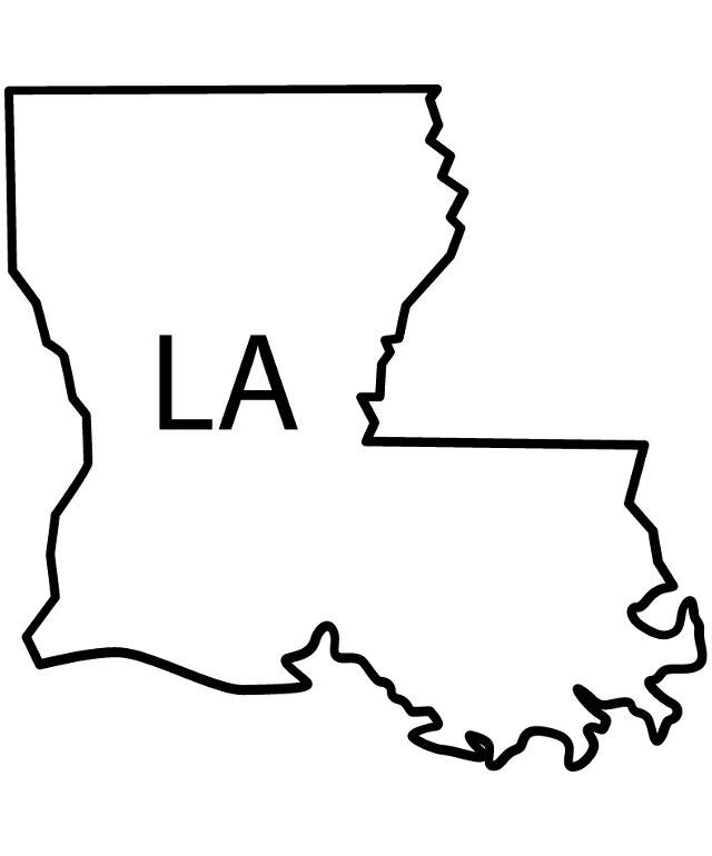
The image displays a simple black and white line drawing of a map of the state of Louisiana. The map is outlined in black, with the state's name "LA" prominently displayed in the center. The map is stylized with a minimalist design, focusing on the state's borders and major geographical features. The image is presented in a square format and does not contain any additional text or details. The style of the image is graphic and appears to be a digital creation rather than a photograph.
Like
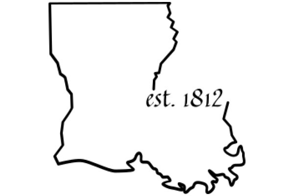
Simplified Map of Louisiana State
$22.95 USD Sale price $20.00 USD
Design this TShirt
Design this Mug
Design this Sticker
Download for personal use
Product
Add to cartShare on Facebook
Share on X
Share on Pinterest
Other Designs