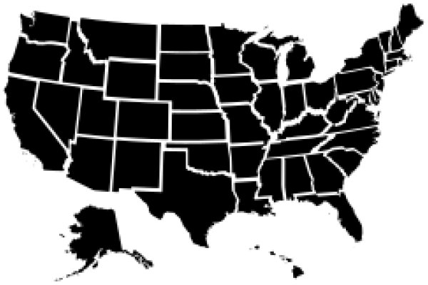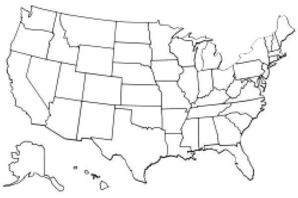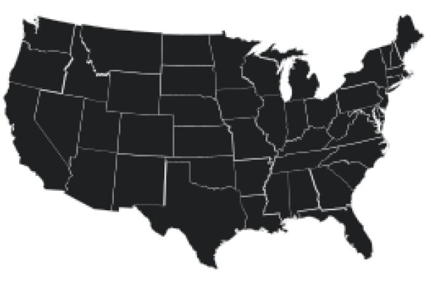
The image displays a black and white map of the United States. The map is detailed, showing the states in a simplified form with their borders and outlines. The states are labeled, and the map includes the names of the Great Lakes, which are represented by their shapes. The map does not include any color information, as it is presented in a monochrome format. The style of the map is reminiscent of a classic, educational map, with a focus on geography and state boundaries.
Like
United States Map: A Detailed Illustration
$22.95 USD Sale price $20.00 USD
Design this TShirt
Design this Mug
Design this Sticker
Download for personal use
Product
Add to cartShare on Facebook
Share on X
Share on Pinterest
Other Designs
