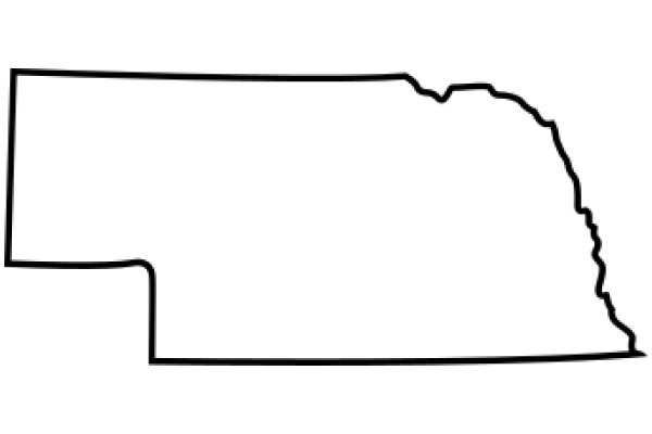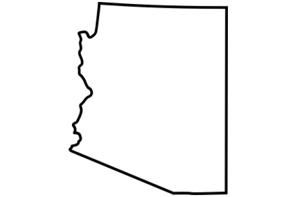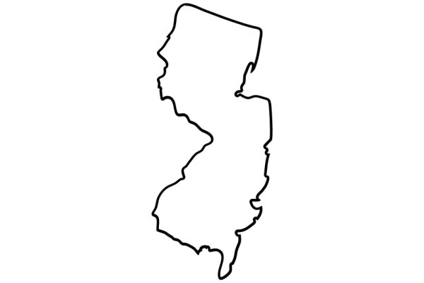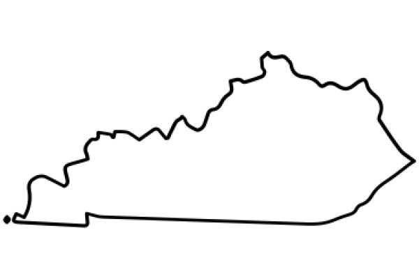
The image displays a simple line drawing of a state's outline. The drawing is black and white, with the state's borders and the outline of the state's shape clearly visible. The state appears to be in the United States, but without more context, it's not possible to identify the specific state. The drawing is flat and does not include any additional details or text. The style of the image is minimalistic and does not contain any color or shading, focusing solely on the state's outline.
Like
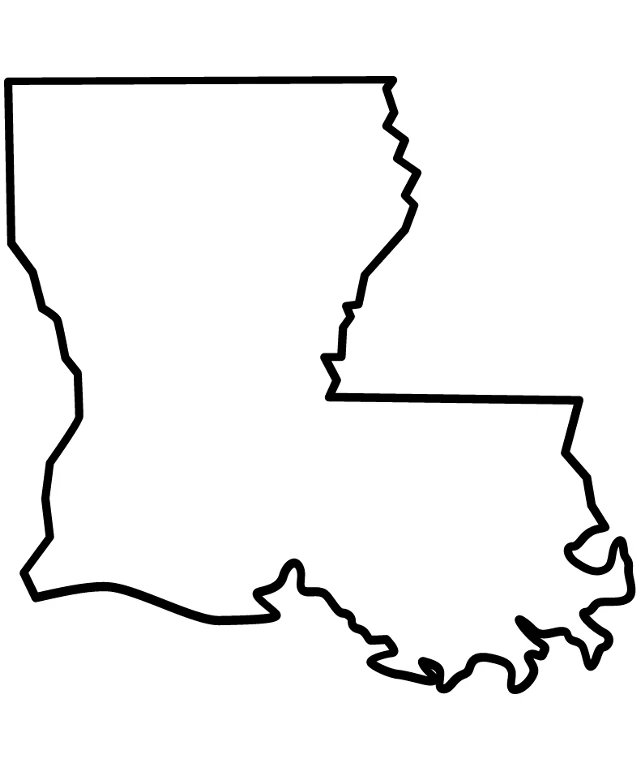
Simplified Map of the State of Louisiana
$22.95 USD Sale price $20.00 USD
Design this TShirt
Design this Mug
Design this Sticker
Download for personal use
Product
Add to cartShare on Facebook
Share on X
Share on Pinterest
Other Designs