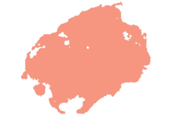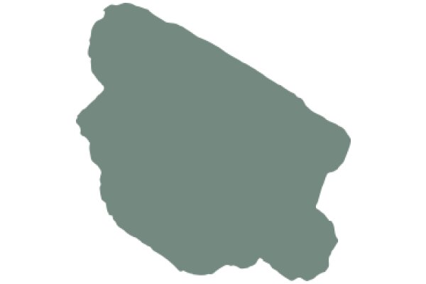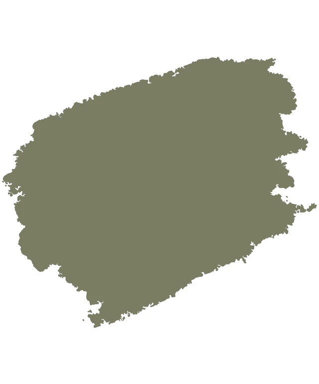
The image shows a stylized map of a region, which appears to be a simplified representation of a country or a group of countries. The map is colored in a muted olive green tone, with the landmasses and borders depicted in a darker shade. The map is outlined with a thin black line, and there are no visible labels or inscriptions on the image. The style of the map is minimalistic and does not include any topographical details or geographic features. The image is presented in a square format and is centered logo.
Like
A Geographical Representation of a Region
$22.95 USD Sale price $20.00 USD
Design this TShirt
Design this Mug
Design this Sticker
Download for personal use
Product
Add to cartShare on Facebook
Share on X
Share on Pinterest
Other Designs