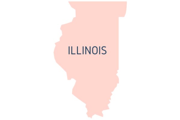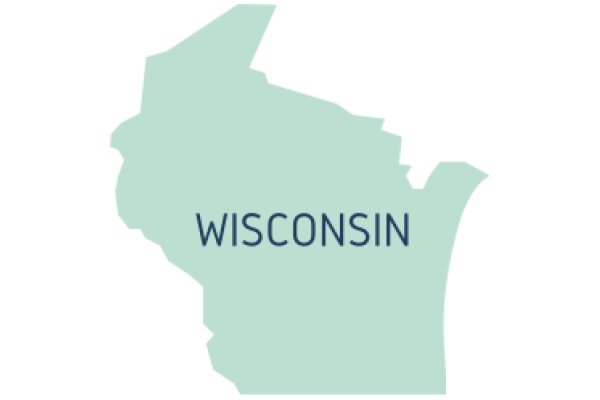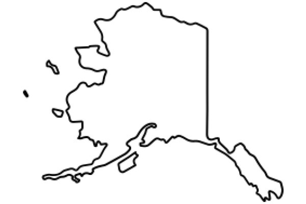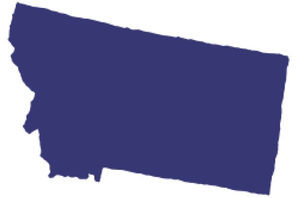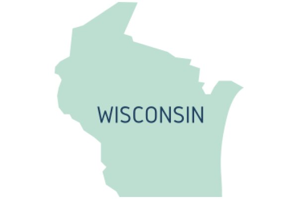
The image displays a stylized map of a region, which appears to be a state or province. The map is predominantly blue, with the borders and the central area outlined in a darker shade of blue. The central area is more detailed, suggesting it could be a city or a major geographical feature. The borders are jagged, indicating the irregular shape of the region. The background is white, which contrasts with the blue of the map, making the map stand out. There is no text present in the image. The style of the image is simple and graphic, with no additional context or details provided.
Like
A State's Silhouette: A Visual Representation of a State's Boundaries
$22.95 USD Sale price $20.00 USD
Design this TShirt
Design this Mug
Design this Sticker
Download for personal use
Product
Add to cartShare on Facebook
Share on X
Share on Pinterest
Other Designs
