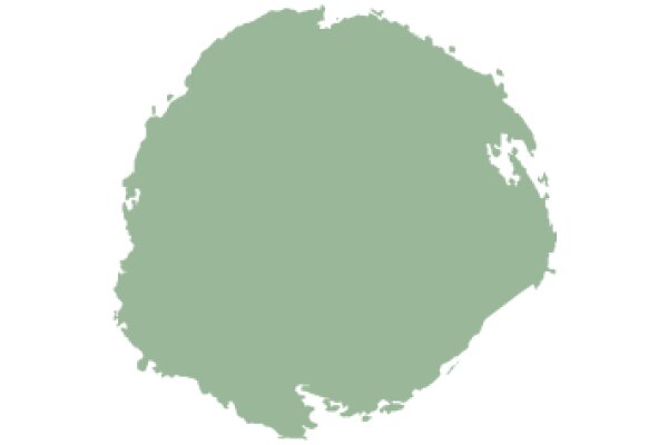
The image shows a stylized map of a country or region, depicted in a simplified, cartoon-like manner. The map is predominantly green, suggesting it represents a landmass. The country or region is outlined with a darker shade of green, indicating borders or boundaries. The map is not detailed, lacking specific geographical features or cities, and it appears to be a stylized representation rather than a realistic one. The style of the image is reminiscent of a children's book or a simplified educational map.
Like
A Green Island in the Ocean
$22.95 USD Sale price $20.00 USD
Design this TShirt
Design this Mug
Design this Sticker
Download for personal use
Product
Add to cartShare on Facebook
Share on X
Share on Pinterest
Other Designs