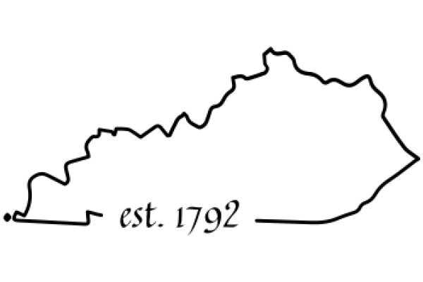
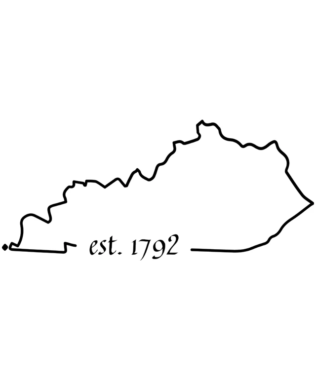
The image features a black and white line drawing of a mountainous region. The drawing is simple and stylized, with the outlines of the mountains and valleys clearly visible. The mountains are depicted with peaks and valleys, suggesting a rugged and hilly landscape. At the bottom of the image, there is text that reads "EST. 1792," indicating that the image may be related to the establishment of a place or event in the year 1792. The overall style of the image is minimalistic and graphic, with no shading or coloring beyond the black lines.


Est. 1792: A Historical Outline of a State's Boundaries

$22.95 USD Sale price $20.00 USD


Design this TShirt
Design this Mug
Design this Sticker
Download for personal use


Product
Add to cartShare on Facebook
Share on X
Share on Pinterest


Est. 1792State Outline MapVintage MapHistorical MapBlack And White MapState Border Map18th Century MapEarly American MapAntique MapGeographic Map

Other Designs

June 18th 1865: A Graphic Nod to a Significant Date in HistoryCelebrating the 186th Anniversary of Juneteenth with a Colorful Graphic DesignA Collection of Sports Logos from College League to High School FootballThree Gentlemen in 18th-Century Attire, Enjoying a Moment of LeisureA Trio of Gentlemen in 18th Century Attire, Each Engrossed in Their Own WorldThree Gentlemen in 18th-Century Attire, Engaging in a Social Gathering2024: A Year of Mr. Est.Celebrating Uncle Est 2018 with a Touch of Love and FestivityA Simple Line Drawing of a State with a Year IndicatedEst. 1889: A Historical Map of the United States
Subscribe to our newsletter:
Currency: USD
Language: English
Mature Content: Safe
© 2025 ZAGD