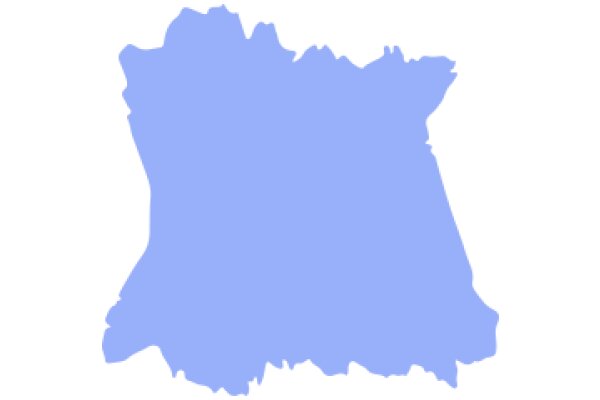
The image displays a stylized map of a region, which appears to be a country or a state. The map is outlined in a darker shade of blue, with the interior filled in with a lighter shade of blue. The borders of the map are jagged, suggesting a mountainous or rugged terrain. The map is presented in a simplified, cartographic style, with no additional geographic details such as cities, roads, or bodies of water. The overall impression is that of a flat, two-dimensional representation of a geographical area.
Like
A Vibrant Blue Silhouette of a Region
$22.95 USD Sale price $20.00 USD
Design this TShirt
Design this Mug
Design this Sticker
Download for personal use
Product
Add to cartShare on Facebook
Share on X
Share on Pinterest
Other Designs