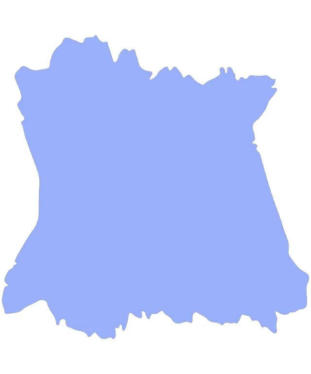
The image displays a stylized map of a region, which appears to be a French department, given the distinctive shape and the text "FRANCE" visible at the top. The map is rendered in a flat, two-dimensional style with a blue color scheme, highlighting the geographical features of the region. The map does not include any specific details such as cities, roads, or topographical features, but rather presents a simplified outline of the region's borders. The overall design is minimalistic and does not contain any additional text or graphics.
Like
A Vivid Blue Silhouette of a Country's Outline
$22.95 USD Sale price $20.00 USD
Design this TShirt
Design this Mug
Design this Sticker
Download for personal use
Product
Add to cartShare on Facebook
Share on X
Share on Pinterest
Other Designs